| Source
Source:
Mississippi: Comprising Sketches of Counties, Towns, Events, Institutions, and Persons, Arranged in Cyclopedic Form Volume I
Edited by Dunbar Rowland
Southern Historical Publishing
Atlanta, Georgia
1907
Pages 460-62
Coahoma County was established February 9, 1836 and
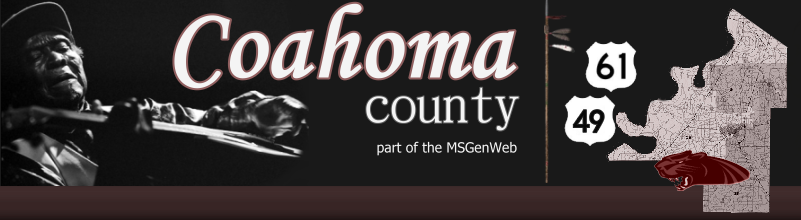
is located in the northwestern part of the State in the fertile Yazoo
Delta region. The name "Coahoma" is a Choctaw word signifying "red
panther." The act creating the county defined its limits as follows:
"Beginning at the point where the line between townships 24 and 25 of
the surveys of the late Choctaw cession intersects the Mississippi
river, and running thence up the said river to the point where the
dividing line between the Choctaw and Chickasaw tribes of Indians
intersects the same; thence with the dividing line to the point where
the line between ranges two and three of the survey of the said Choctaw
cession intersects the same; thence with said range line, to the line
between townships 24 and 25 aforesaid, and thence with the said
township line to the beginning." The county has a land surface of 592
square miles. It constitutes of the numerous counties formed from the
Choctaw cession of 1830. It is bounded on the north by Tunica county,
on the east by Quitman and Tallahatchie counties, on the south by
Bolivar and Sunflower counties, and on the west by the Mississippi
river.
The following is a list of the county officers two
years after the county was established: L. Baker, Henry Weathers, James
W. Lunsford, Alfred Holsell, David B. Allen, members of the Board of
Police; S.. Swearingin, Aaron Shelby, G.B. Warren, Allen Tackett,
William Tunstall, John Miller, Justices of the Peace; William M. Cador,
Sheriff; Euophilus Huff, Coroner; Aaron Dabney, Surveyor; Bushrod B.
Warner, Circuit Clerk; John D. Shaw, Clerk of the Probate Court; Hector
J. Palmerton, Assessor and Collector; John Austin, Ira Piper, Matthew
Huff, John R. Jones, Constables.
Port Royal was once the county seat of Coahoma
county. It was a rival of Friar's Point, five miles up the Mississippi
river. In the early days the county seats of the Mississippi river
counties were always located on the banks of that stream. When Port
Royal was cut off from the river in 1848, its fate was sealed and the
county seat of justice was located at Friar's Point, which still
remained a river town. The latter place had a population of 750 (census
of 1900) and received its name in honor of Robert Friar, one of its
earliest settlers. County courts are also held at Clarksdale, which is
now the largest and most important town in the county, and had a
population of about 6,000 in 1906. Clarksdale was named for John Clark,
a brother-in-law of Gov. Alcorn, whose beautiful home, Eagle's Nest, is
in this county. The main line of the Yazoo & Mississippi Valley
railway, together with four branches of the same road, afford the
county excellent railroad facilities. From Coahoma in the northeastern
part of the county, two branches cross in a southwesterly direction,
one of which, branching at Clarksdale, crosses the southeastern part of
the county. With its good rail connections, Clarksdale is an
exceptionally favorable location of manufacturing establishments.
No more fertile soil can be found in the State than
it this county. It is rich alluvium deposited through the centuries by
the overflow of the Mississippi. It produces abundant crops of cotton,
sugar cane, potatoes, hemp, alfalfa, pecans, etc.: in fact almost any
crop grown in the United States can be raised here. Much of the timber
with which the county was originally covered has been cleared away for
the plantations, but there still exist large areas of valuable hardwood
forests. Since 1900 there has been unusual activity in the matter of
clearing farms, with a consequent large increase in real estate values.
Intersected by the Sunflower river, and by other rivers and bayous, the
natural drainage is perfect, and renders the region well adapted to
truck-farming.
There are several turnpike roads in the county, and
Coahoma county has taken the lead of all delta counties in the
construction of good roads. It has recently appropriated $100,000 for
building new roads and repairing old ones. A large force of men is
constantly employed in this work under the supervision of an
experienced road builder. The county has contracted for a large steel
suspension bridge across the Sunflower river at Clarksdale, and it is
the policy of the present board of supervisors to replace all wooden
bridges with steel ones.
The U.S. census for 1900 gives the following data
covering agriculture, manufactures and population: Number of
farms in the county, 4,055; total acreage in farms, 195,494; acres
improved, 121,905; value of the land exclusive of buildings,
$4,337,050; value of the buildings, $873,120; value of the live stock,
$830,688; total value of products not fed to stock, $2,365,867. Number
of manufacturing establishments, 78; capital invested, $830,481; wages
paid, $139,944; value of materials used, $483,119; total value of
products, $831,979. The total assessed valuation of real and personal
property in the county in 1905 was $4,046,707 and in 1906 it was
$4,650,177, which shows an increase of $603,470 during the year. The
population of the county in 1900 was 26,293; an increase of 7,951 over
1890; of these 3,081 were white, and 23,212 colored. The estimated
population in 1906 was over 30,000.
|