
 Jefferson County, Mississippi
A Proud Part of the Mississippi GenWeb!
Contact Us:
State Coordinator: Jeff Kemp
County Coordinator: Gerry Westmoreland
If you have information to share, send it to Jefferson County MSGenWeb.
In the menu on the left there is a list of featured Jefferson County Towns & Places that have photos and/or more information.
Below is a list of all Towns & Places in Jefferson County.
Ashland
GPS: 31.800278, -91.348056
Blue Hill
GPS: 31.763056, -90.857500
Buena Vista (historical)
GPS: 31.816944, -91.330556
Cadillac
GPS: 31.651667, -91.110278
Cannonsburg
GPS: 31.633889, -91.211111
Church Hill
GPS: 31.716391, -91.238057
Clifton
GPS: 31.835000, -91.044444
Deane (historical)
GPS: 31.711944, -91.027500
Dennis Crossroads
GPS: 31.758333, -90.959444
Elmo
GPS: 31.621944, -90.938333
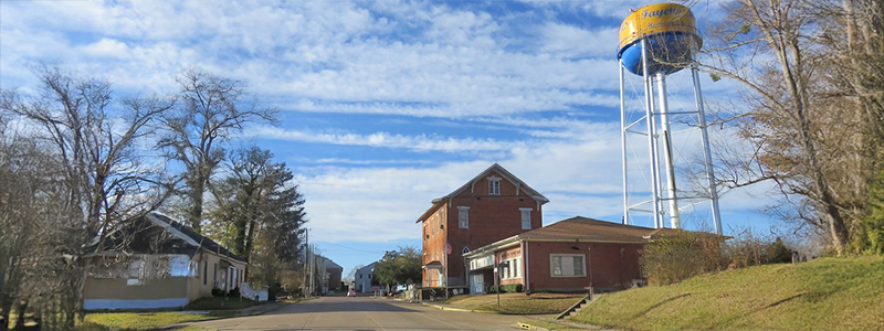
Fayette
GPS: 31.711667, -91.060556
Four Forks
GPS: 31.628333, -91.127500
Gum Ridge (historical)
GPS: 31.783611, -91.244444
Harriston
GPS: 31.725278, -91.032222
Huntley (historical)
GPS: 31.776667, -91.180556
Ihrie (historical)
GPS: 31.778611, -91.218056
Jefferson
GPS: 31.663333, -90.983333
Leedo (historical)
GPS: 31.647500, -90.844444
Lorman
GPS: 31.820556, -91.050000
Malcolm (historical)
GPS: 31.615556, -90.962500
McBride
GPS: 31.765833, -90.782222
McNair
GPS: 31.638611, -91.041944
Melton
GPS: 31.786667, -91.056944
North Fork (historical)
GPS: 31.818056, -91.095278
Old Greenville (historical)
Unknown
Perth
GPS: 31.659444, -90.867778
Phoenix (historical)
GPS: 31.737778, -91.058333
Pleasant Hill
GPS: 31.724444, -90.736667
Poplar Hill Museum of
African American Culture
GPS: 31.763932, -91.093741
Red Lick
GPS: 31.792500, -90.979167
Rodney
GPS: 31.861389, -91.199722
Shankstown (historical)
GPS: 31.814722, -91.029167
Springfield (historical)
GPS: 31.747500, -91.190278
Stampley
GPS: 31.637222, -91.131111
Stonington
GPS: 31.759167, -91.017222
Union Church
GPS: 31.683056, -90.787500
Uniontown (historical)
GPS: 31.758611, -91.172778
Violet
GPS: 31.820833, -90.852778
![]()
![]()